Huruma’s hidden map: its village names
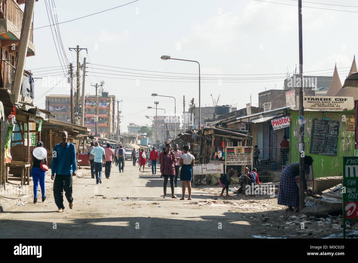
In Nairobi’s Huruma, “Huruma” is often only the beginning of an address. Ask someone where they live, work or meet friends, and the answer may be Kambi Moto, Gitathuru, Kosovo, Mahadi or Ngei. These smaller section names are part of the neighbourhood’s everyday language. On a map, they may appear as separate points, but on the ground they connect through busy lanes, small businesses, homes, churches, workshops and familiar corners. That local vocabulary makes directions more specific than a standard street address. A kiosk owner might tell you to walk toward Kambi Moto, while a boda boda rider may suggest meeting near Kosovo or turning after a well-known junction in Ngei. In a densely built area where official signs are not always the main reference, people rely on landmarks, routines and shared knowledge. A school gate, a matatu stop, a particular kiosk or a row of stalls can be more useful than a pin on a phone. For a first visit, start around the Huruma matatu stage and take time to observe the pace of the area. Buy tea and a mandazi from a local kiosk, then ask politely which section you are closest to. The answer can reveal more than a map label: it may lead into a short conversation about where people shop, which route is easiest, or how the boundaries between sections are understood locally. The best way to experience Huruma is not to rush through it looking for one major attraction. Its character is found in the details: conversations at kiosks, hand-painted signs, people moving between errands, and the names that give each part of the estate its identity. Visit during daylight, keep to active public routes, and always ask before taking photographs of people, businesses or stalls. Learning even a few local names turns Huruma from a broad destination into a lived-in network of neighbours.




Comments